
Mapping
Create and maintain maps with high quality, up-to-date street-level data.
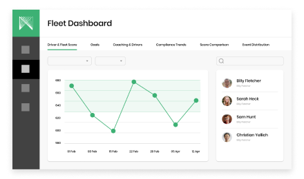
Fleets
Harness real-time road condition data to optimize routing and dispatch.
Infrastructure
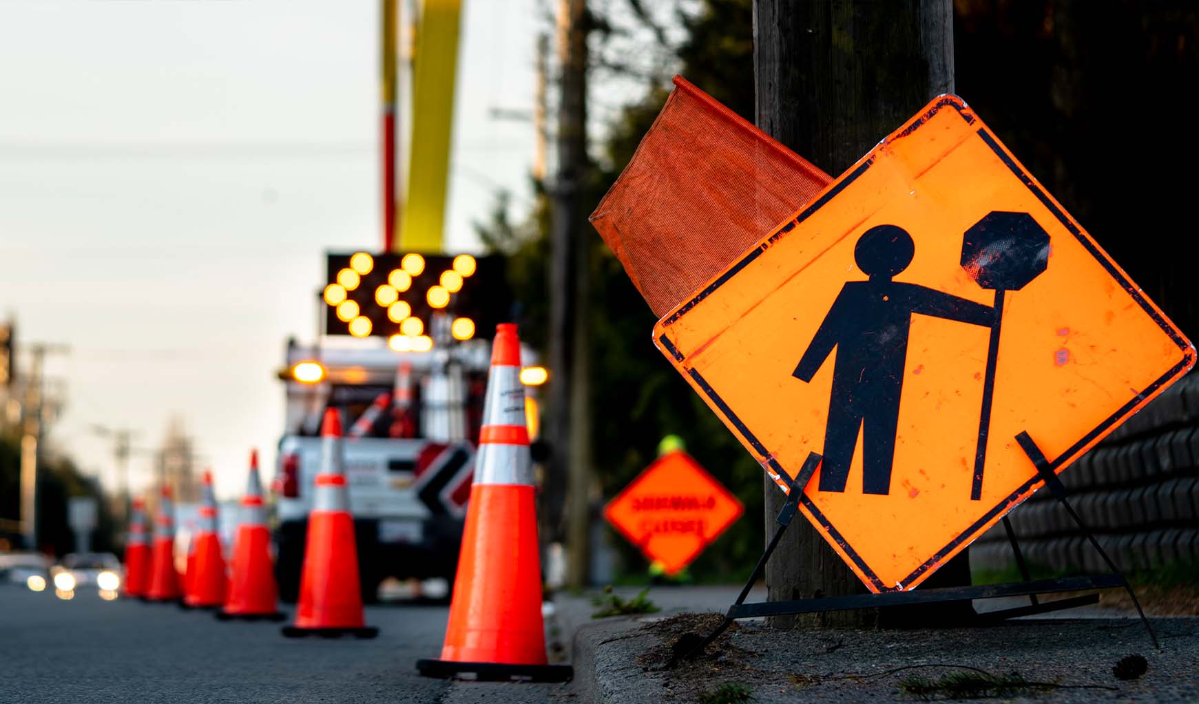
Improve roadway management with remote surface and asset monitoring.
Create and maintain maps with high quality, up-to-date street-level data.
Harness real-time road condition data to optimize routing and dispatch.
Improve roadway management with remote surface and asset monitoring.
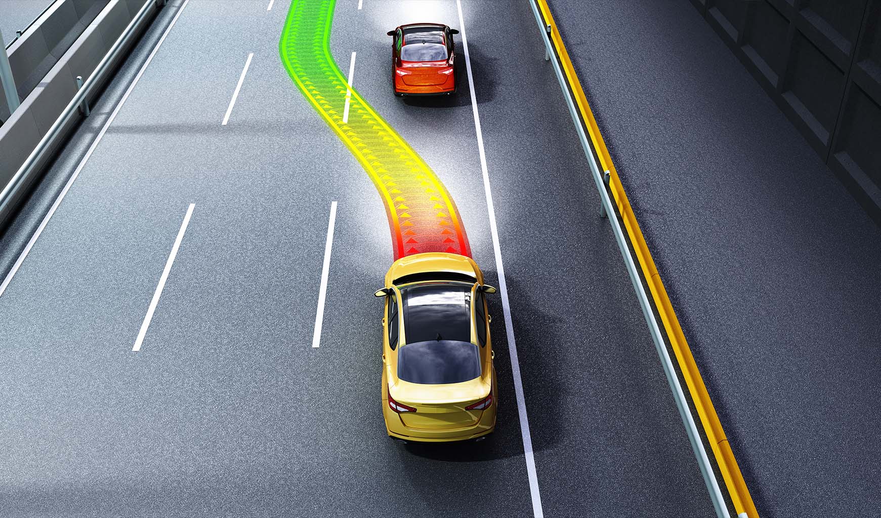
You can’t build tomorrow’s applications with yesterday’s data.
Netradyne provides the most up-to-date information in the industry, processing a
year’s worth of annotated driving videos every hour. Most of our routes are updated within 24 hours,
complete with HD imagery, semantic detections, and a wide array of sensor readings.
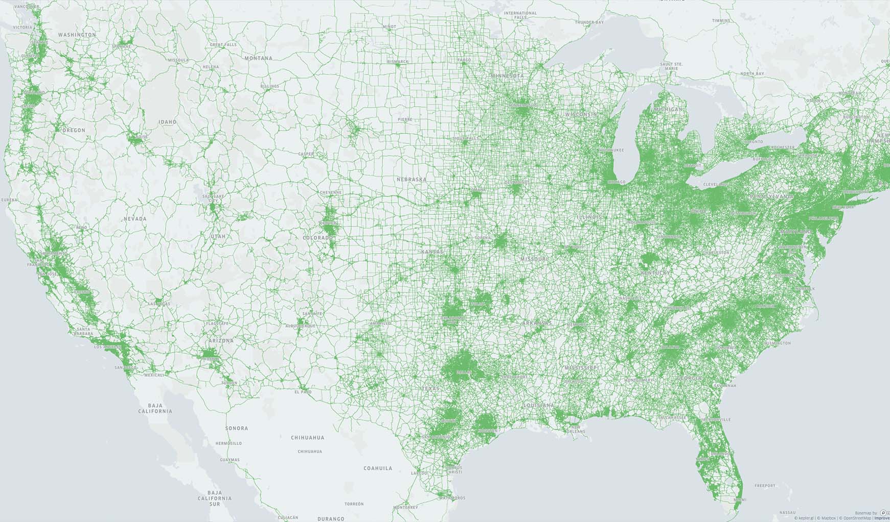
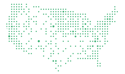
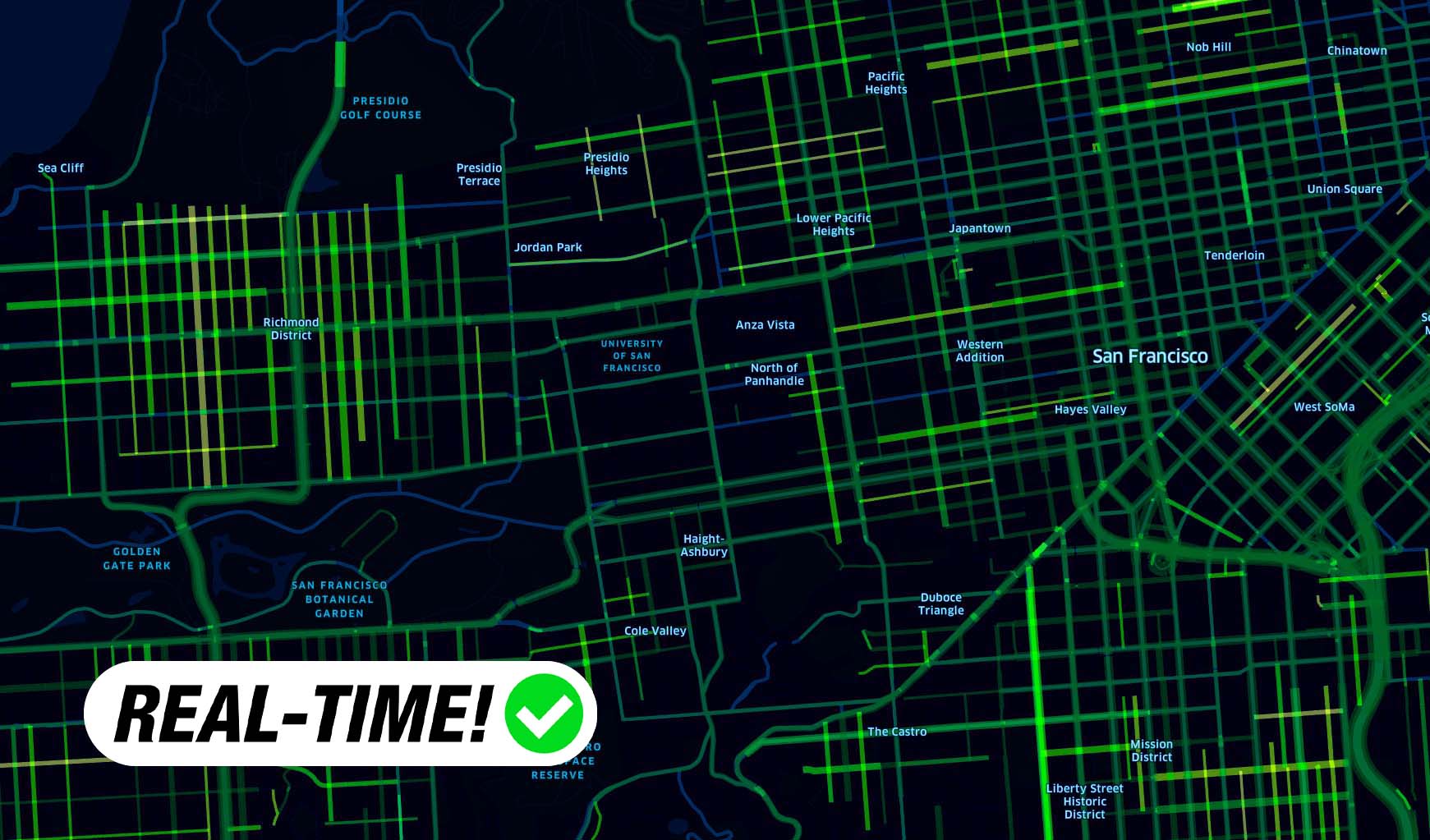
This isn’t a random image from the internet. This is our actual coverage map of the
United States, with most of these roads being driven at least once daily. Our data harvesting pipeline
processes over 25 billion road images per day.
In addition to hourly data from all major roadways, get detailed visual and
semantic insights from all major metropolitan areas.

With Netradyne, you never have to worry about compliance issues. From day one, we have
collected our license-secured data with anonymized acquisition and built-in personal and business
privacy protection.